12 Milford Sound Facts That Will Surprise You
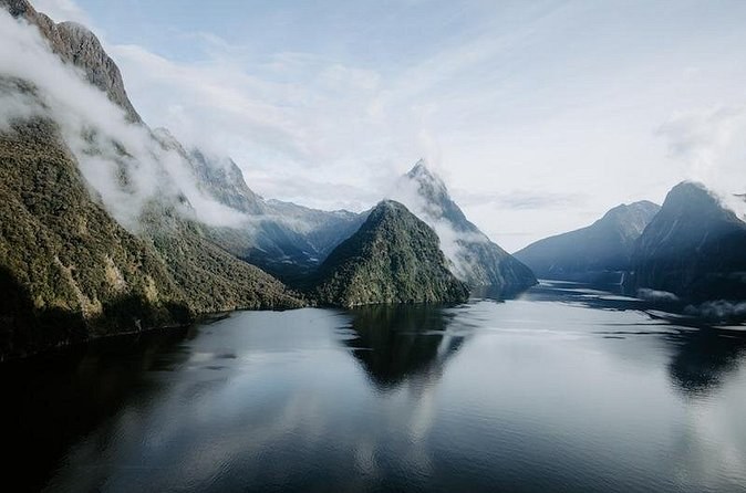
The short answer. Milford Sound is not a sound at all. Its Māori name remembers a single bird, its English name comes from a harbour in Wales, and its coral grows where coral should not. Twelve facts follow, each with its source. If they make you want to see it, the Milford Sound New Zealand tours are the next step.
The numbers at a glance
| Fact | Figure | Source |
|---|---|---|
| Height of the peak opposite the wharf | 1,692 m, straight from the water | DOC |
| Deepest water | Up to 265 m | DOC |
| Length to the sea | About 15 km | Wikipedia |
| Rain a year at the airstrip | About 6,545 mm on some 185 days | NIWA, 1991-2020 |
| Visitors a year | Over one million | DOC |
| Marine reserve | 690 hectares, set up in 1993 | DOC |
1. It is a fiord, not a sound
A sound is a river valley that the sea has flooded. A fiord is a valley cut by glacial ice, then flooded when the ice melted. DOC describes the land here as carved by glacial ice, and the steep walls are the giveaway. The early European names simply got it wrong, and the name stuck.
2. Its Māori name remembers one bird
The Māori name is Piopiotahi. DOC explains it as the place of a single piopio, a native thrush, and the name tells a story of loss: the piopio is now extinct. For Ngāi Tahu, DOC notes, the fiord is the final creation of Tū Te Rakiwhānoa.
3. The English name comes from Wales
The sealer John Grono named it after Milford Haven, the Welsh harbour near Grono's birthplace. Even the date is argued over: some accounts put it around 1812, others at 1823. The point where the fiord meets the sea, Dale Point, is also named after a place close to Milford Haven. When your boat turns at the mouth, you are looking at a Welsh name on a New Zealand coast.
4. Fresh water floats on top of the salt
So much rain runs off the mountains that the top of the fiord is a layer of fresh water. Tannins from the forest stain it brown, the colour of weak tea. Fresh water is lighter than salt water, so it sits on top instead of mixing, and you are cruising on a lid of rain.
5. Deep-sea coral grows near the surface
That dark lid keeps light out of the water below. Black coral, which normally lives far down in the ocean, grows close to the surface here as a result. You will not see it from the boat, but you sail right over it. It is the reason divers come to the Piopiotahi Marine Reserve, set up in 1993 along 16 km of the northern shore. The rest of the fiord's life is on the wildlife page.
6. The peak rises straight out of the water
Mitre Peak stands 1,692 m high, and DOC measures that from the water's edge: there is no beach and no foothill. Under the surface the walls keep going, down to 265 m. The government's 2025 announcement on the fiord's future wrote the peak's name as Mitre Peak Rahotū, pairing the English and Māori names.
7. It rains about six and a half metres a year
The NIWA normals for the airstrip, from 1991 to 2020, give about 6,545 mm a year over some 185 rain days. DOC says up to 7 m. January is the wettest month and June the driest, which surprises most people who plan a summer visit. Month-by-month figures are on the weather page.
8. The first settlement was three huts
Donald Sutherland, a sealer, soldier and gold prospector, was the first European to live here. In 1878 Sutherland built three thatched huts and called them the City of Milford. A dozen years later, Sutherland and Quintin Mackinnon cut the track that linked the fiord to the interior. The history in more detail is on our facts page.
9. The road needed nearly two decades of tunnelling
Work on the Homer Tunnel began in 1935. Difficult conditions and the Second World War held it up, and DOC dates its completion to 1953 on one page and 1954 on another. It runs 1.2 km through the rock at 945 m above sea level, one lane at a time. Every stop on the way is on our page about the road.
10. Prisoners built the last stretch of the great walk
The Milford Track ends at Sandfly Point, on the fiord. DOC notes that its last 3 km, a smooth, wide track, was built by a prison labour gang between 1890 and 1892. You can walk that section yourself on a day walk; see our page about the track.
11. A major fault crosses the entrance
The Alpine Fault crosses the entrance to the fiord. Civil Defence Southland says it has ruptured on average every 300 years, and puts the chance of the next rupture within 50 years at 75%. The advice if the ground shakes: drop, cover and hold.
12. Visitor numbers doubled in six years
DOC counted about 437,000 visitors in 2012 and 883,000 in 2018, and the total is now over one million a year, bringing about $200 million to the region. In 2025 the government confirmed that cruise ships and the aerodrome will stay, as part of its plan for managing the numbers. How to see the fiord without them is on the visitor guide.
What these facts mean for your visit
A few of these change how you should plan. The rain means you pack for it rather than cancel for it: the wettest days bring the most waterfalls, and the boats sail in the rain. The fault line means you should know the drill: if you feel the ground shake at the water, drop, cover and hold. The visitor numbers mean the middle of the day is busy, so sail early or late if you can.
The tunnel explains why your day on the road is so long, and why you cannot hurry it: it is one lane, and the lights can hold you for up to 20 minutes in summer. The fresh-water lid explains the dark colour you see over the side of the boat. And the one bird in the Māori name is a reminder that you are visiting a place that mattered long before the cruises did. The practical side, from parking to packing, is in our guide to visiting.
Which facts you can see for yourself
- The tannin-brown water: look over the side of any boat you take.
- The peak straight from the water: you see it from the wharf or the foreshore walk.
- The one-lane tunnel: on any drive or coach day in.
- The end of the great walk: on the self-guided day walk from Deepwater Basin.
- The glaciers that carved it all: from a scenic flight or a helicopter.
Paige's pilot was reassuring and knowledgeable from take-off to the fiord, and Daniel's helicopter landed on a glacier before the cruise. Brodie B. walked about an hour to the falls on the track over rocky ground. Every flight is on Milford Sound scenic flights and every walk on Milford Sound hike tours.
See the fiord the way the glaciers made it
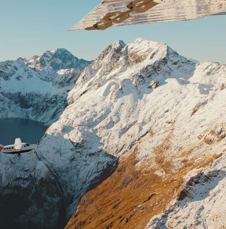
Queenstown: Milford Sound Flight and Cruise
Fly from Queenstown with a window seat, land at the fiord, take the nature cruise and fly back, in about four and a half hours.
From $450 per person
Check Availability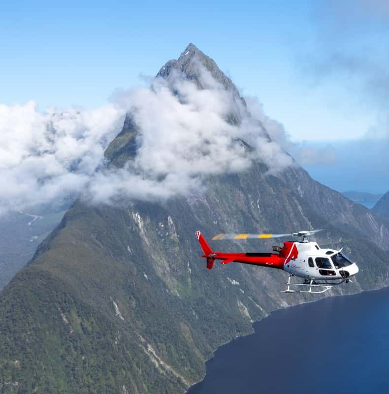
Queenstown: Milford Sound Cruise & Helicopter Alpine Tour
A four-hour Queenstown day by helicopter, with a glacier landing, in-flight commentary and a scenic cruise between the flights.
From $801 per person
Check Availability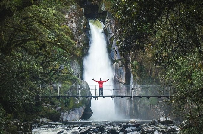
Self-Guided Milford Track Day Walk - Milford Sound
Boat transport across to the end of the great walk and back, then three to four hours on the track at your own pace. Not a guided walk.
From $43 per person
Check AvailabilityNext: Travelling as a family? Read our guide to the fiord with children. Every fare sits side by side on Milford Sound Tours.