Milford Sound Facts and Figures
Hours, prices and access verified by the Milford Sound Tours team — last checked 2026-09-21.
Milford Sound is a fiord 15 km long, walled by rock that rises straight out
of the water. Here are the figures you will hear from the skipper, checked against the
Department of Conservation (DOC) and NIWA, so you know which ones hold. They sit behind
every one of the Milford Sound New Zealand tours.
Milford Sound in numbers
The peak on almost every photograph is Mitre Peak. It climbs 1,692 metres from the water's
edge, and its Māori name is Rahotū. Under your boat, the fiord drops to as much as 265
metres. You are sailing on a drowned valley.
Rain is the other big number. NIWA's normals for the airport give 6,545 mm a year, and DOC
says up to 7 metres falls across the area. That water is what feeds the falls on your
cruise.
| Figure | Value | Source |
|---|
| Height of the peak on the photographs | 1,692 m, straight from the water | DOC |
| Depth of the fiord | Up to 265 m | DOC |
| Length, head to the Tasman Sea | About 15 km | Charted figure |
| Rain a year at the airport | 6,545 mm over about 185 rain days | NIWA, 1991-2020 |
| Rain a year across the area | Up to 7 m | DOC |
| Road from Te Anau | 120 km, about 2 hours without stops | DOC |
| Tunnel on the road | 1.2 km long, 945 m above sea level | DOC |
| Marine reserve | 690 ha along 16 km of the northern shore, since 1993 | DOC |
| Fiordland National Park | Over 1.2 million ha, constituted in 1952 | DOC |
| Visitors a year | Over one million | DOC |
| The four-day Great Walk | 53.5 km, ending at the fiord | DOC |
Seen the numbers? Now see the fiord.
A cruise from the terminal, a full day from Queenstown or Te Anau, or a flight in: compare them side by side.
A fiord that is called a sound
Strictly, you are not on a sound at all. A sound is a river valley flooded by the sea. A
fiord is a valley cut by glaciers and then drowned. DOC describes this landscape as carved by
glacial ice, with steep U-shaped walls.
The early European namers used "sound" for every inlet on this coast, and the name stuck.
You will see "fiord" on DOC's signs and "sound" on the maps. Both mean the same water.
- Sound
- A river-cut valley, V-shaped, later flooded by the sea.
- Fiord
- A glacier-cut valley, U-shaped, later flooded by the sea. Fiordland takes its name from them.
Piopiotahi, the Māori name
The Māori name is Piopiotahi. It comes from the piopio, a ground-feeding native thrush
that DOC now thinks is extinct. DOC gives the meaning as "one native thrush". The marine
reserve along the northern shore carries the same name.
For Ngāi Tahu, the fiord is the final masterpiece of Tū Te Rakiwhānoa, who shaped the land.
DOC's own signs use both names, Milford Sound and Piopiotahi. You will hear both on the
boat.
How the Milford Road and the track opened the fiord
For most of its history you reached the fiord by sea or on foot. Māori came for takiwai, a
greenstone, by sea and over what is now the Milford Track. The sealers came next, then a
settler, then walkers, and only in the 1950s a road.
Some dates here are disputed, and we show them that way rather than pick one.
- Before Europeans Ngāi Tahu hold Piopiotahi as the final work of Tū Te Rakiwhānoa. Takiwai, a translucent greenstone, was gathered near the fiord's mouth.
- 1773 Cook's crew are the first Europeans DOC records in Fiordland. They spend five weeks in Dusky Sound, far to the south.
- Around 1812 or 1823 The sealer John Grono names it after Milford Haven, his birthplace in Wales. Disputed: DOC says around 1812; other accounts say 1823.
- 1878 Donald Sutherland builds three thatched huts and calls them the City of Milford. DOC names him the first European resident.
- 1888-1889 McKinnon and Mitchell cross the pass in 1888; DOC dates the track's opening to 1889. Two dates, two events.
- 1889 William Homer finds the saddle that the road tunnel later runs under.
- 1935-1954 Work on the road tunnel begins in 1935. DOC's pages give 1953 and 1954 for its completion, after the war stalled the work.
- 1952 Fiordland National Park is constituted. World Heritage status follows in 1986.
- 1993 The marine reserve along the northern shore is established.
- 2025 The government commits $15.2 million to the fiord and the road.
The Milford Road you drive today runs 120 km from Te Anau, and DOC says to allow about two hours
without stops. The Homer Tunnel at its top is 1.2 km long and 945 metres above the sea.
Fiordland National Park and Te Wāhipounamu
The fiord sits in the north-west of Fiordland National Park. DOC says the park was
constituted in 1952 and now covers over 1.2 million hectares. It became a World Heritage
Area in 1986, and today it is part of Te Wāhipounamu, the South West New Zealand World
Heritage Area.
Entry is free. The park charges nothing to enter.
There are no national park fees and no Milford Sound entry fee in 2026. You pay for the cruise
or the tour, not for the fiord.
Below the waterline, the Piopiotahi Marine Reserve protects 690 hectares along 16 km of
the northern shore. It has been a reserve since 1993, and DOC notes black coral on its steep
inner wall.
Visitors, then and now
You will not have the fiord to yourself. DOC counts over one million visitors a year, and
the number doubled between 2012 and 2018. Many were day-trippers from Queenstown, spending
about eight hours on the road for a two-hour cruise.
| Year | Visitors | What changed |
|---|
| 2012 | About 437,000 | Many on day trips from Queenstown |
| 2018 | About 883,000 | More than double in six years |
| 2026 | Over one million a year | About $200 million a year to the region |
In June 2025 the government committed $15.2 million to the fiord and the road. The money
pays for a new alpine walk in the Gertrude Valley, flood protection on the Cleddau River and a
new boat ramp at Deepwater Basin. The same release kept the airstrip open, so flights still
land.
The Alpine Fault and what to do in an earthquake
The Alpine Fault crosses the entrance to the fiord. Civil Defence Southland says it can
produce a magnitude 8 earthquake, on average every 300 years. It puts the chance of one in
the next 50 years at 75%.
A large quake during your short visit is very unlikely. If one comes, you have little time,
so know the three moves before you arrive.
- Drop, cover and hold until the shaking stops.
- If it was long or strong, get gone. Move up and away from the water at
once.
- If you see or hear a landslide, do the same: up and away from the
water.
Quick answers
How tall is Mitre Peak?
Mitre Peak rises 1,692 metres straight from the water. It is the peak on most photographs of the fiord.
Is it a fiord or a sound?
A fiord. The valley was cut by glaciers and then flooded by the sea; the name 'sound' is an early European misnaming.
How much rain falls there?
About 6.5 metres a year over roughly 185 rain days, going by NIWA's 1991 to 2020 averages for Milford Sound Airport. That rain is what fills the waterfalls you cruise past.
What does Piopiotahi mean?
It is the Māori name for the fiord, after the piopio, a native thrush that is now thought to be extinct. DOC gives the meaning as 'one native thrush'.
Is it safe?
The fiord lies near the Alpine Fault. Civil Defence Southland's advice in an earthquake is to drop, cover and hold, then move away from the fiord and rivers if the shaking is long or strong.
Where these facts come from
Heights, depths, history and the park figures are DOC's, checked 21 September 2026. The rain figures are
NIWA's 1991 to 2020 normals for Milford Sound Airport. The earthquake advice and odds are
Civil Defence Southland's. The fiord's length is the charted figure, and DOC's pages do not
give one.
Three ways to see the numbers for yourself
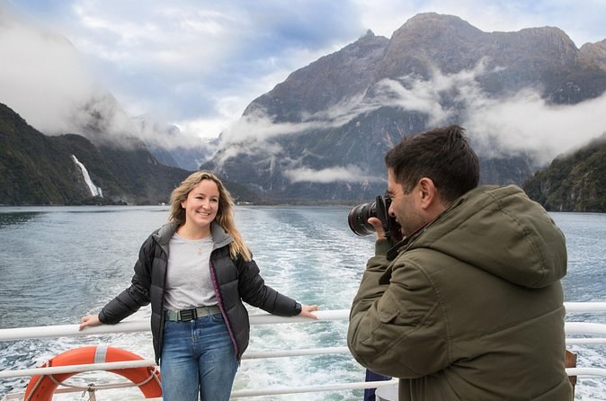
A glass-roof coach with free WiFi from Queenstown at 7:20am, three ten-minute stops on the way in, a scenic cruise and a picnic lunch. Up to 48 on board.
From $201 per person
Check Availability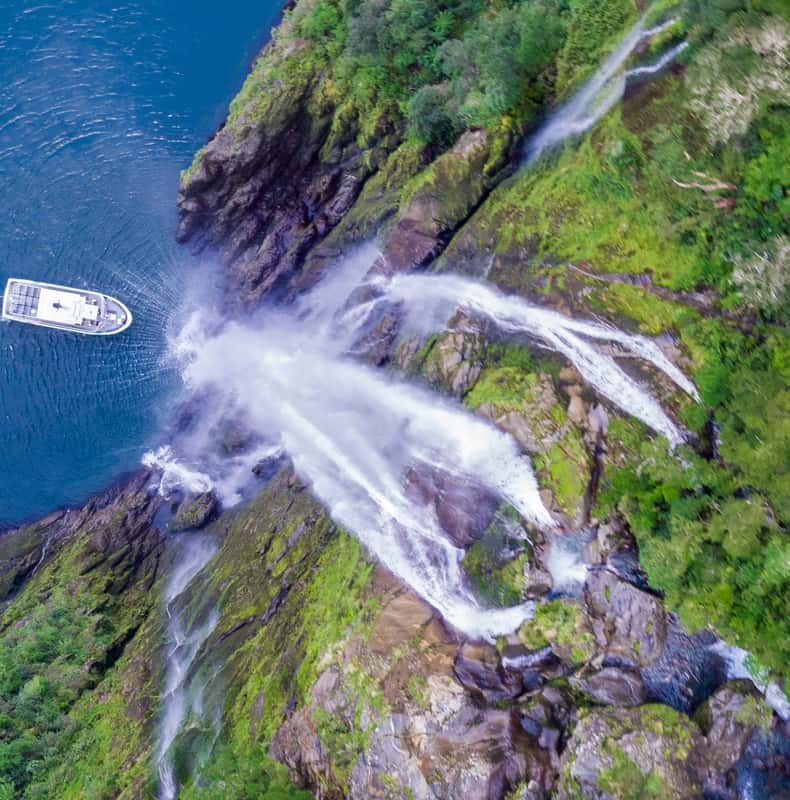
A boutique small-boat cruise of 1 hour 45 minutes from the crew's own counter, with coffee, tea and biscuits. Hotel pickup is not offered.
From $108 per person
Check Availability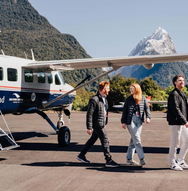
Two 40-minute flights from Queenstown on different routes, a 2-hour small-boat cruise between them, hotel pickup and window seats for everyone.
From $428 per person
Check Availability